


SERVICES
WE DEVELOP PROFESSIONAL SOLUTIONS FOR PROJECTS IN ALL SIZES BY USING THE AIRBORNE LIDAR, TERRESTRIAL LASER SCANNING, AND DRONE MAPPING TECHNOLOGIES.-

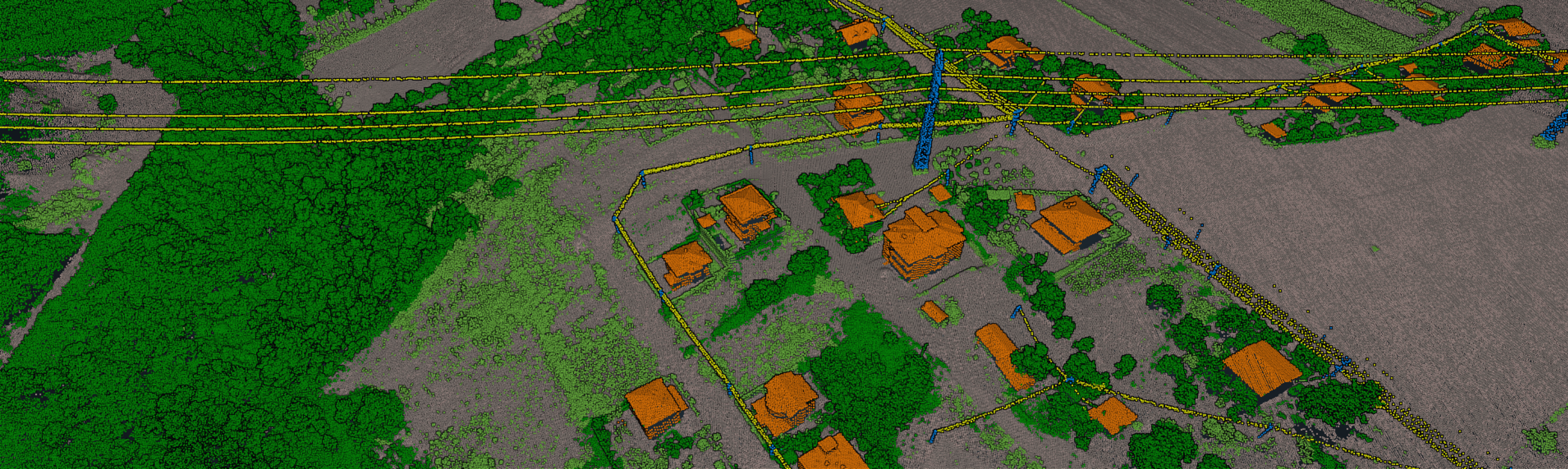
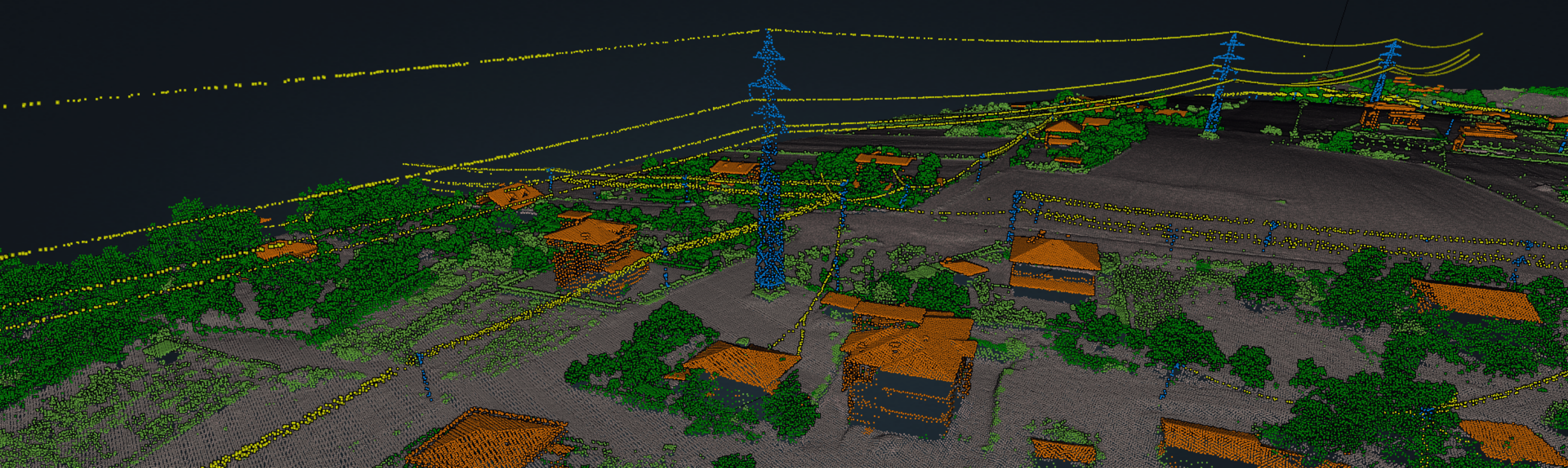
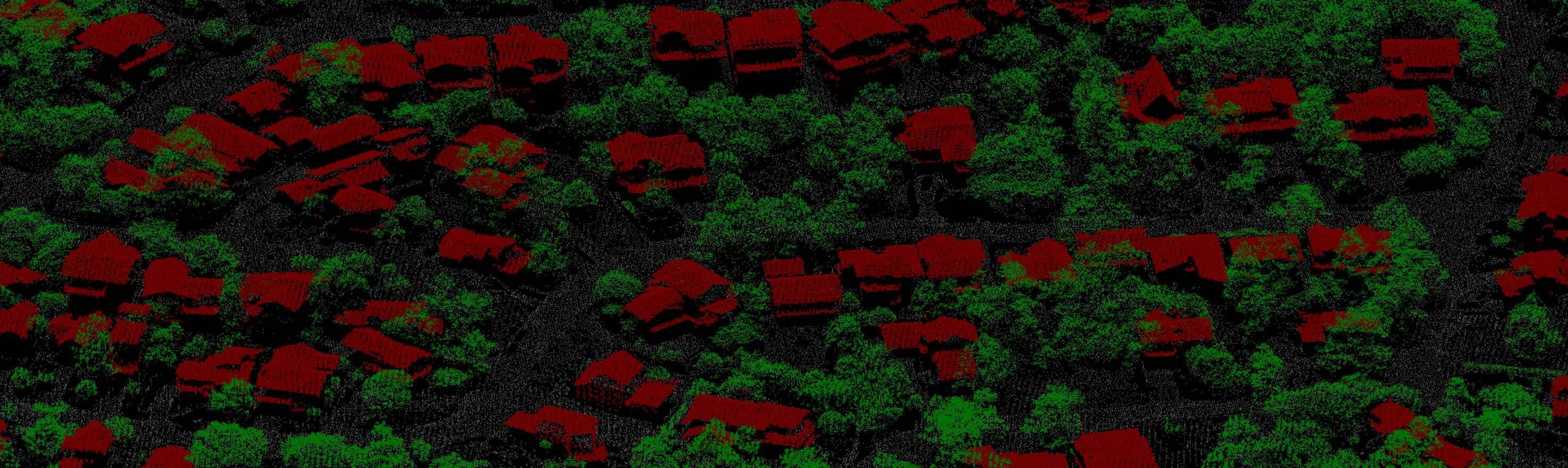
AIRBORNE LiDAR
Delta Lidar with its expert Lidar Staff (more than 10 years) and up to date Laser Scanning Equipment produces professional solutions to the customers in the fields of municipality, forestry, air transportation, energy, construction, hydrography, archeology, mining, planning, transportation, and all sectors requiring spatial analysis.
-

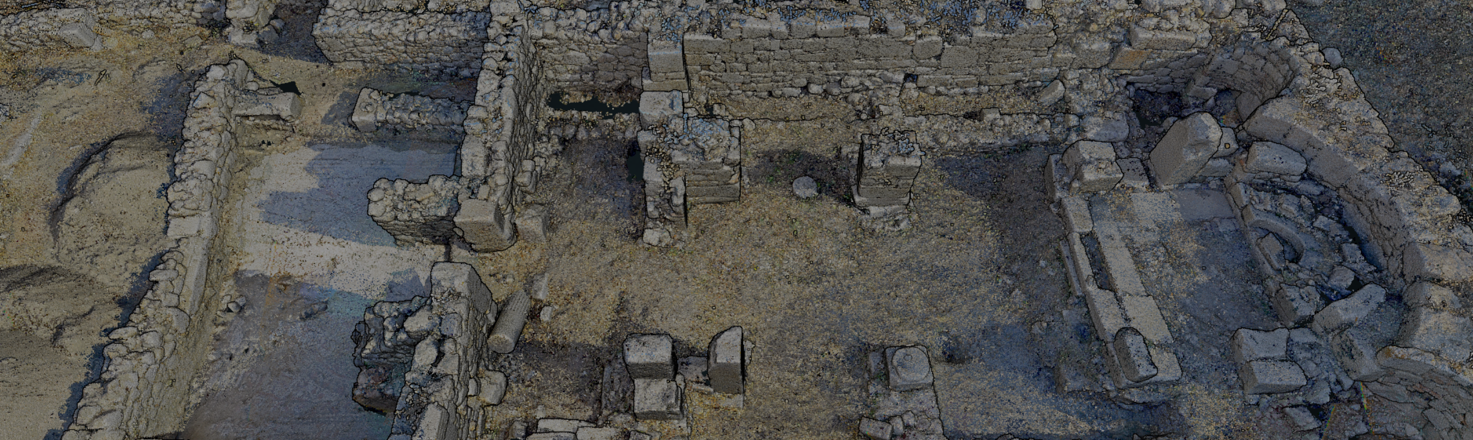
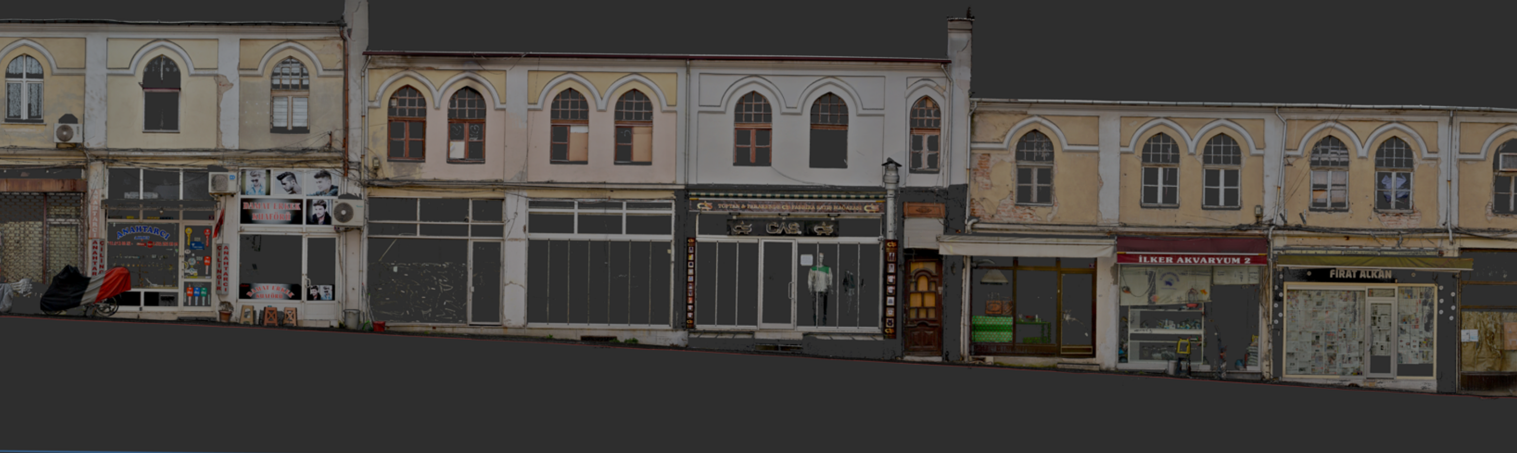
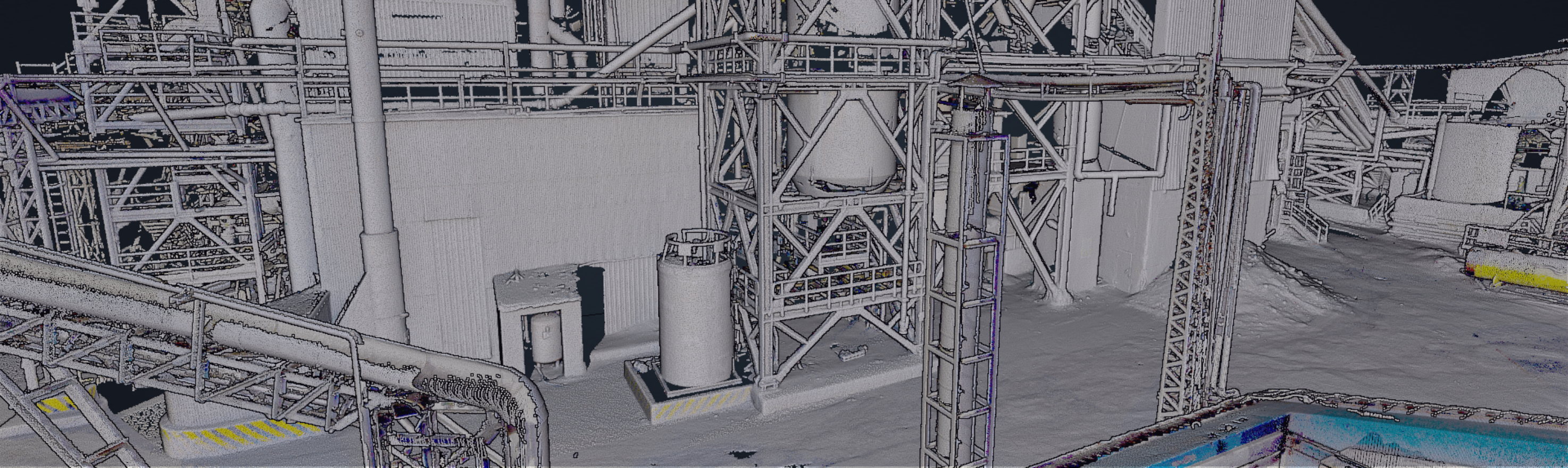
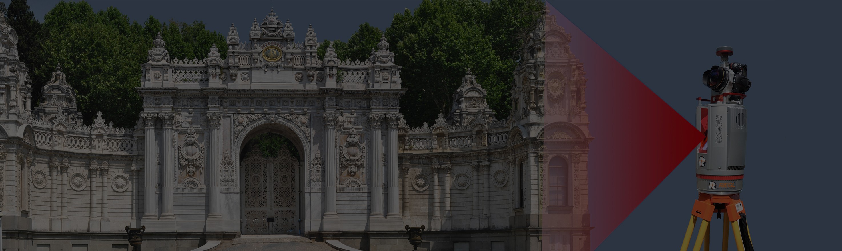
TERRESTRIAL LASER SCANNING
With the Terrestrial Laser Scanning we provide accurate and fast solutions in all fields requiring sensitive measurements such as architectural works (arch. plan, restitution, and restoration), engineering, mining, and transportation.
-

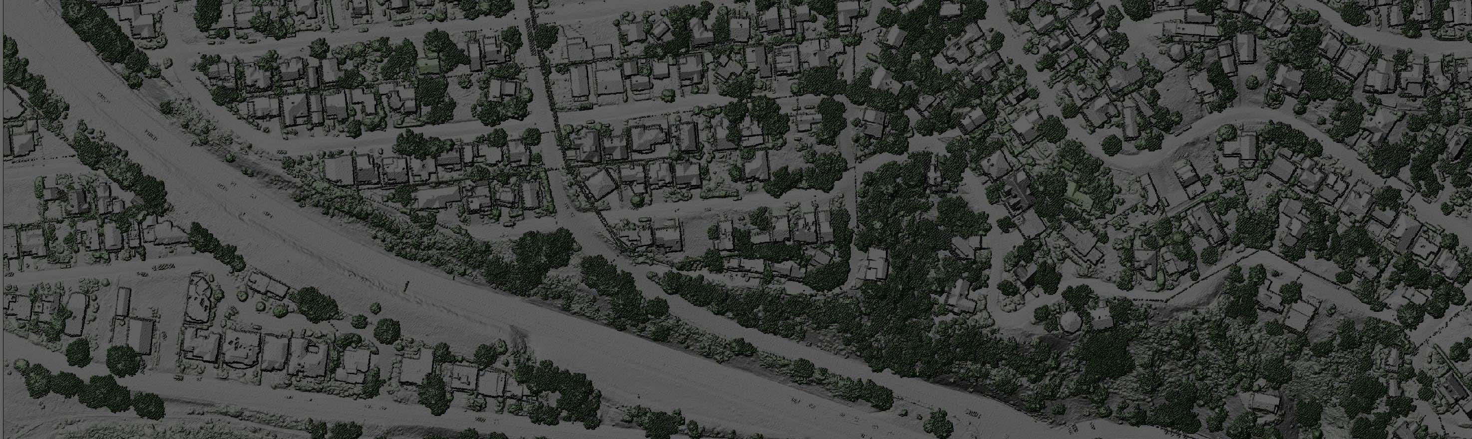
DRONE MAPPING
We produce highly accurate maps with balanced coordinates from real-time data obtained by connecting to the TUSAGA-Aktif (Cors-TR) System from a Drone equipped with the RTK/GPS System.
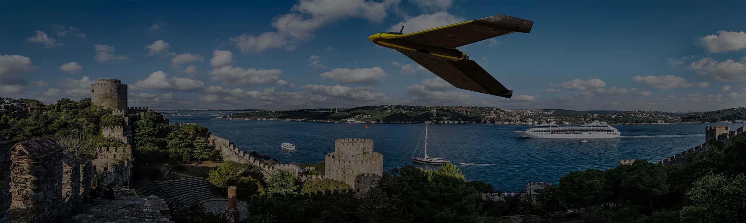
DeltaLidar – Airborne Lidar
Please see the video for a visual illustration of the Airborne Lidar applications and its products.
WORK FLOW DELTALiDAR
ONLINE BROCHURE
Please see our brochure for the detailed information about our services.
VİEW BROCHURE