
PRODUCTS
PRODUCTS
Our products produced from the analyses of the data received from Airborne Lidar, Ground-based Laser Scanning, and Drone Mapping
Digital Elevation Model (DEM)
A digital model produced by classifying the point clouds obtained from Airborne Lidar and containing the X,Y, Z coordinates of the surface a land (including topography of the beneath a forest)
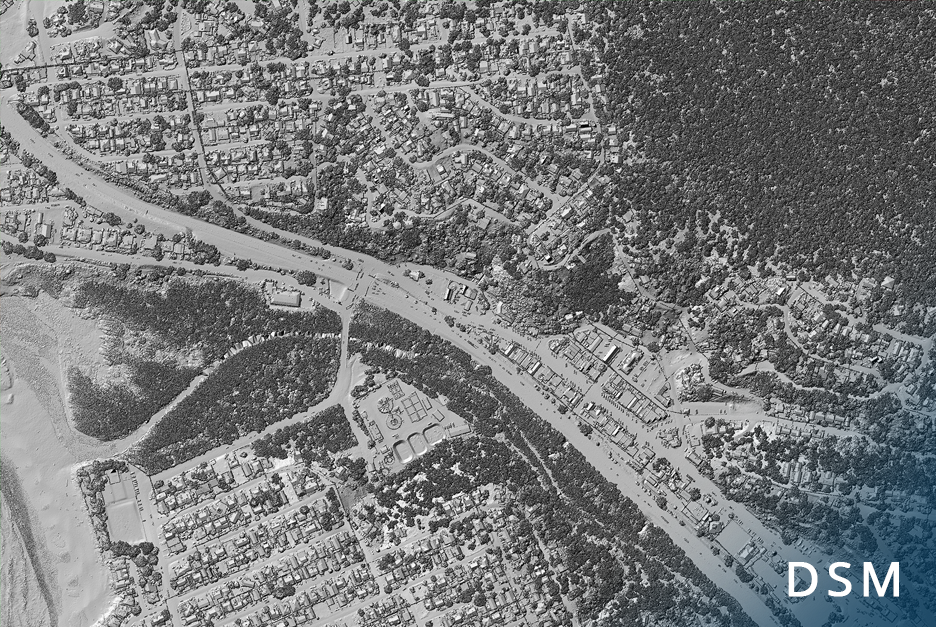
Digital Surface Model (DSM)
A digital model produced from the point clouds obtained from Airborne Lidar and containing the X,Y, Z coordinates of the surface a land, building, tree, etc.
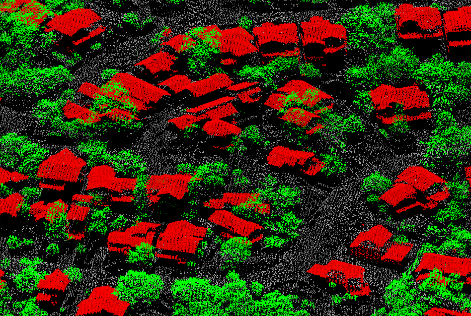
Point Cloud
A set of data points defined by X, Y, and Z coordinates and formed with the information obtained from the laser pulses bouncing back from the surface after being fired from the laser scanning instrument.
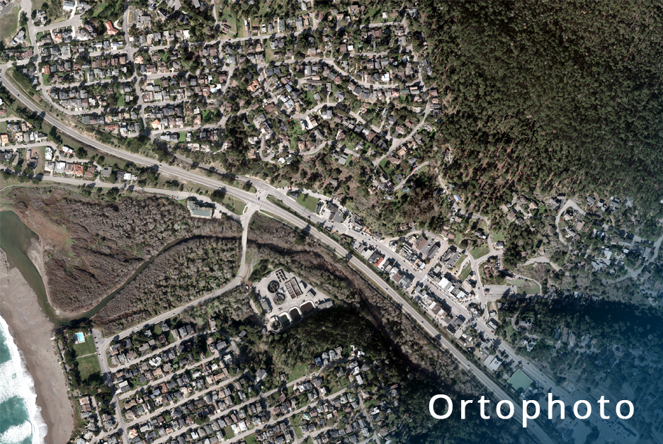
ORTHOPHOTO
A digital image produced from the images simultaneously obtained from the Lidar.
3D CITY MODELLING
A digital model produced from the point clouds obtained from Airborne Lidar and containing the X,Y,Z coordinates of the surface a land, building, tree, etc.