We map your agricultural fields from above using multispectral, thermal cameras, and LiDAR systems. Every detail is thoroughly analyzed, and with the support of expert academics, we provide you with reliable digital data.
Discover our advanced mapping technology to ensure sustainability in agriculture.
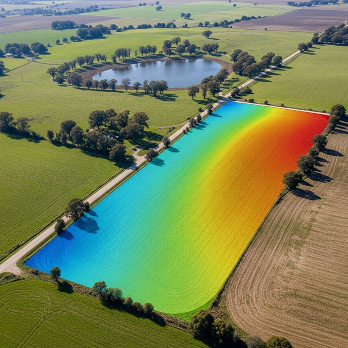
Plant, Crop Health, and Stress Analysis
The growth status, stress levels, and disease symptoms of plants are detected at an early stage.
- Health analysis using vegetation indices such as NDVI and NDRE
- Identification of stressed or diseased areas
- Prevention of yield loss through timely intervention
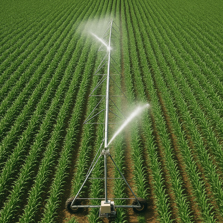
Smart Irrigation and Input Management
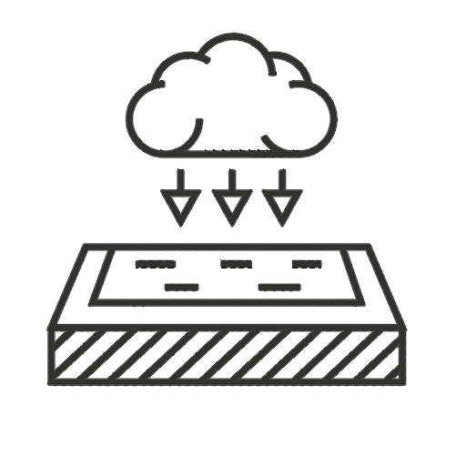
Water, fertilizer, and pesticides are applied only where needed.
- Regional fertilization and spraying planning
- Mapping of irrigation requirements
- Reduction of input costs and resource savings
Crop Growth Monitoring and Harvest Planning
The growth process of crops is monitored to determine the optimal harvest time.
- Seasonal growth analyses
- Harvest planning based on growth performance
- Making the production process traceable
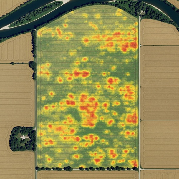
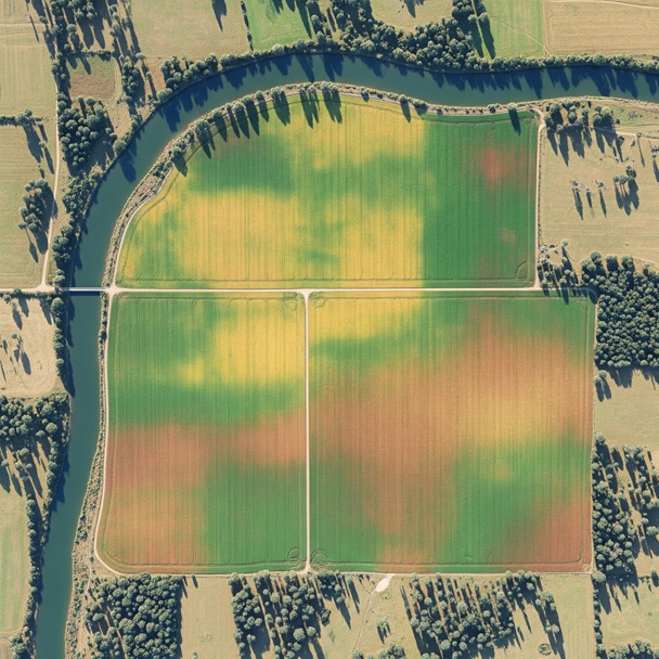
In field variation mapping
Yield and soil differences within the field are revealed through detailed maps.
- Identification of yield variations within the field
- Zoning based on soil and crop characteristics
- Data production suitable for site-specific interventions
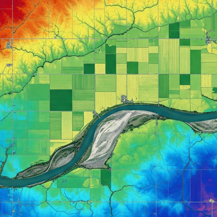
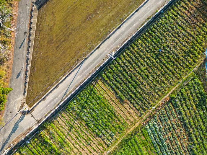
Lidar based agricultural mapping
With airborne LiDAR systems, we generate highly accurate 3D surface models of large agricultural fields.
Topographic Analyses

Slope Analyses
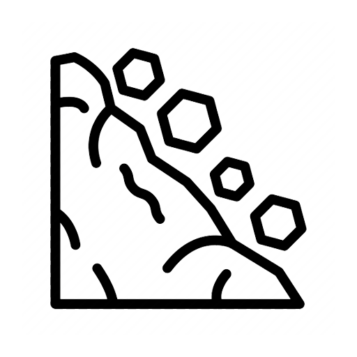
Erosion Risk Detection
Drainage Planning
Soil Management
Delta Lidar analyzes agricultural fields with multispectral, thermal, and LiDAR technologies, providing a strong, data-driven foundation for modern farming.
Discover our advanced mapping technologies to ensure sustainability in agriculture.
We map land boundaries, slopes, and natural features
quickly and reliably.
With our LiDAR technology, land boundaries, slopes, and natural structures are mapped with speed and precision.
Maximize potential
with data driven
production planning!
Crop Growth Analyses
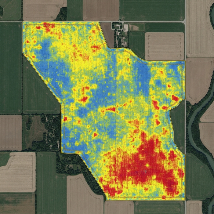
Variation Maps