Delta Lidar produces highly accurate data even under challenging natural conditions. From pre-crisis planning to post-disaster response and damage assessment, we deliver effective solutions throughout the entire process.
Discover advanced Lidar technology for disaster management before and after the event.

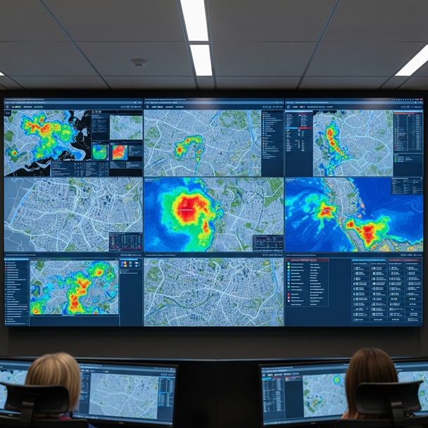
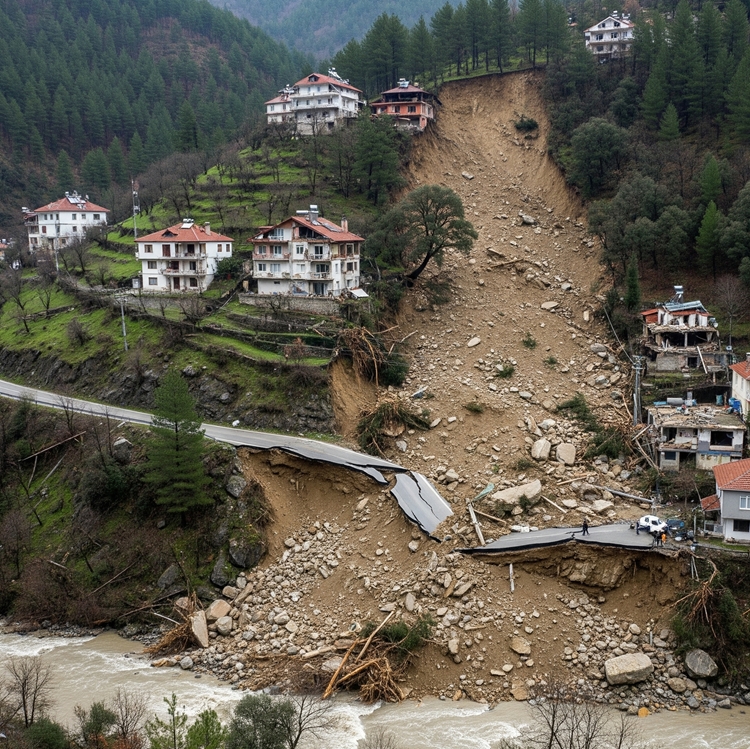
Disaster Hazard Mapping and Risk Analysis
Identify potential disaster-prone areas with precision. Define hazard zones, evacuation routes, and structural risks using scientific data.
- Landslide Inventory, Hazard and Risk Maps
- Flood Hazard and Risk Maps
- Rockfall Hazard and Risk Maps
- Ground Stability Analyses
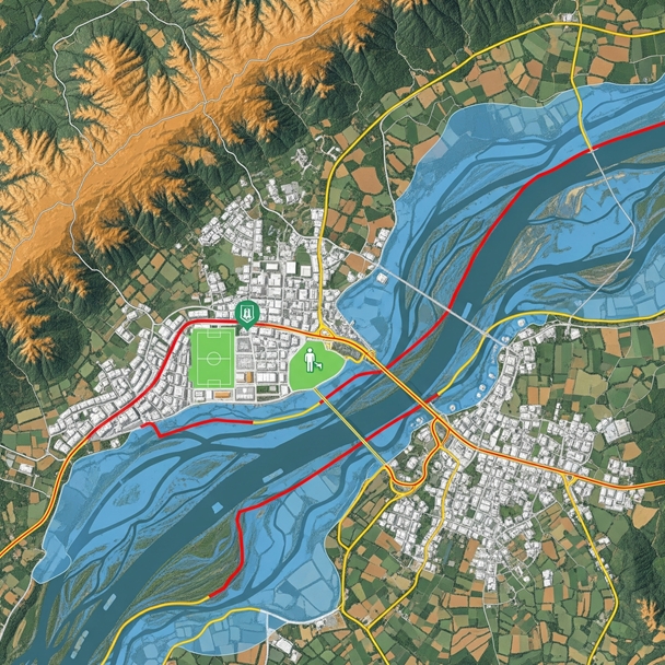
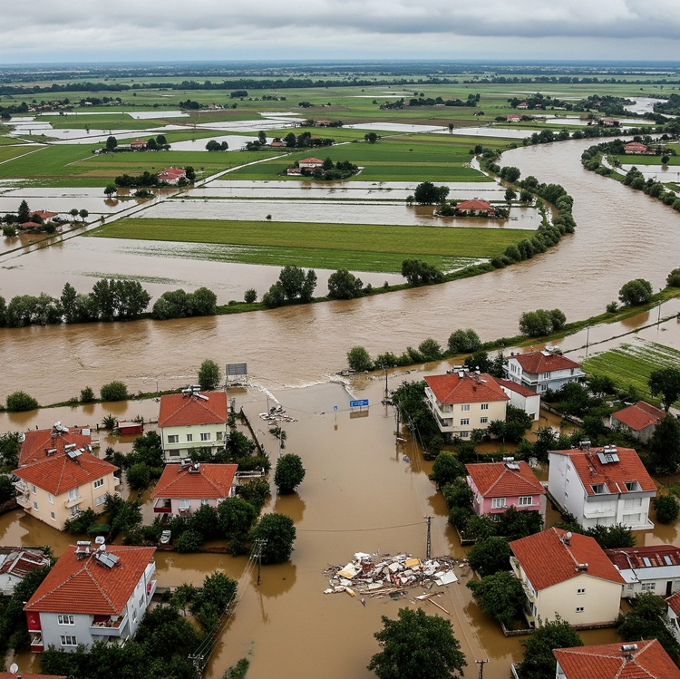
Flood hazard and risk analysis
For disaster management, urban planning, and infrastructure safety, we provide flood and inundation risk analysis solutions using high-resolution LiDAR data, supported by scientific consulting from expert academics.
- High-accuracy surface and terrain model generation (DSM/DTM)
- Detailed analysis of flow direction, catchments, and water accumulation areas
- Flood propagation simulations and hazard zone mapping
- Precise impact analyses for critical infrastructures
- Risk assessment and scenario generation based on geospatial data
- Dynamic modeling infrastructure integrated with climate data
- GIS-based data production and compatibility with decision support systems
- Scientific consulting from specialized academics
Landslide hazard and risk analyses
With high-resolution LiDAR data and academic consulting support, we provide comprehensive landslide inventory, hazard, and risk analysis solutions for disaster management, land-use planning, and infrastructure safety. High-accuracy surface and terrain model generation (DSM/DTM)
- Detailed slope morphology and gradient analysis
- Classification of landslide-prone areas
- Detection and monitoring of surface deformations
- Impact analysis and safety zoning for critical infrastructures
- Integrated modeling with soil type, vegetation, and rainfall data
- Data support for early warning systems in high-risk areas
- GIS-based mapping and decision-support outputs
- Technical content aligned with municipalities, geological engineers, and public institutions
Rockfall hazard and risk analysis
To mitigate rockfall hazards, we offer specialized solutions for land-use planning and disaster management through LiDAR-based data analyses and academic collaborations.
- High-accuracy surface and terrain model generation (DSM/DTM)
- Detailed morphological analysis of steep slopes and high-gradient areas
- Identification of rock block location, volume, and potential movement paths
- Creation of hazard zones and mapping of high-risk areas
- Vulnerability assessments for infrastructure and settlement areas
- Parametric simulations developed with academic consulting
- GIS-compatible data production and visual reporting infrastructure
- Tailored solutions for highways, railways, and mountainous settlements


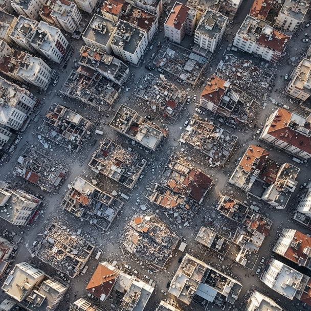
Disaster Response and Damage Assessment
Post-disaster terrain changes, damaged structures, and inaccessible areas can be quickly and safely analyzed with LiDAR and photogrammetry technologies.

Post-Disaster 3D Terrain Comparisons
Destruction and Debris Maps
Evacuation and Logistics Planning
Temporary Settlement Area Identification