Geospatial solutions powered by software, sensors, and artificial intelligence
Our aerial Lidar technology allows you to perform precise and detailed mapping through high-resolution laser scanning. With remote sensing techniques, you can quickly analyze large areas and guide your projects with reliable data.
LiDAR Point Cloud
Through airborne LiDAR surveys, we map large areas with high accuracy and high detail in three dimensions. By classifying the generated point clouds with artificial intelligence, we automatically distinguish terrain features, built-up areas, and natural obstacles
- Classified point cloud
- Under-forest topography
- Dense point cloud
DEM/DTM, DSM, orthophoto, vector maps
With Airborne Lidar scanning, Delta Lidar produces DEM, DTM, DSM, classified point clouds, orthophotos, and vector maps for your large- and small-scale projects with the highest accuracy and precision.
- Digital terrain and elevation models (DTM/DEM)
- Digital surface model (DSM)
- High-resolution orthophoto
- Base maps and detailed vector drawings
- GIS integration
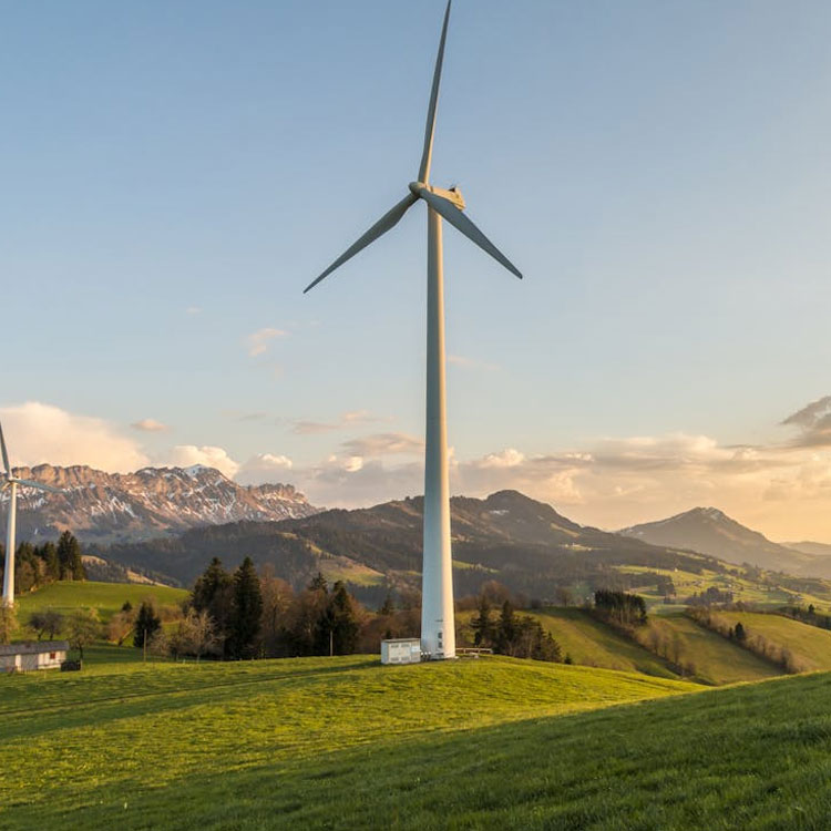
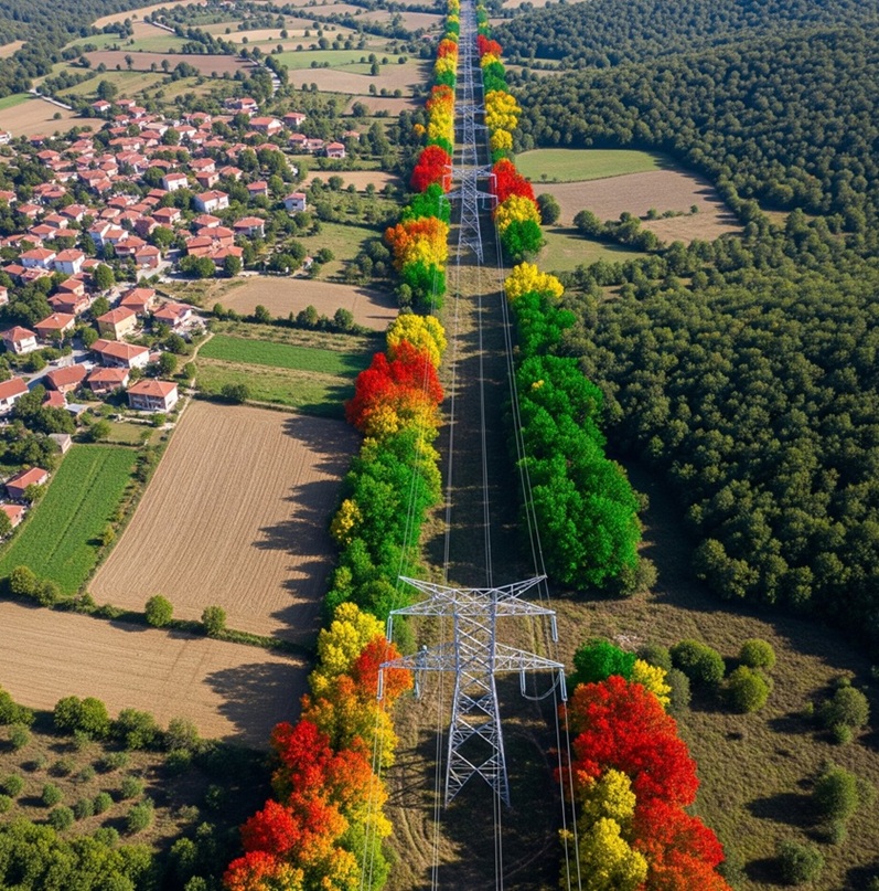
Powerlines
We provide highly accurate and precise solutions using LiDAR technology for the effective management of electricity distribution lines. With aerial LiDAR scanning, we map distribution networks, environmental impacts, and maintenance-required areas in detail, thereby increasing operational efficiency and contributing to energy supply security.
- Tree-to-line clearance analysis and pruning planning
- LiDAR-integrated thermal imaging
- 3D modeling of assets along transmission lines
- Distribution line inventory and GIS integration
- Disaster risk and response priority analyses
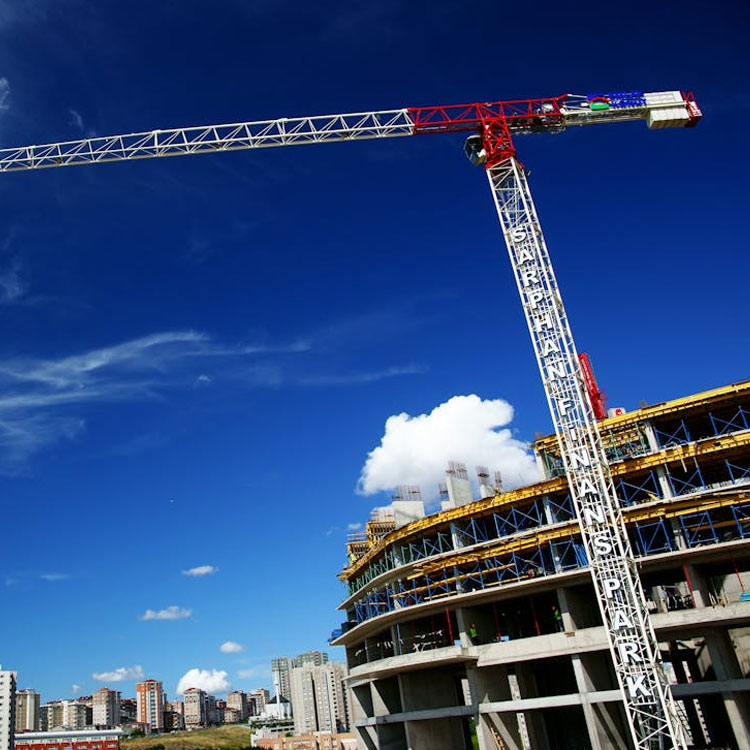
Construction
In construction projects, Delta Lidar enhances efficiency with highly accurate terrain data, pre-construction planning analyses, and structural monitoring. Using aerial Lidar technology, large areas can be scanned quickly and in detail, providing engineering teams with cost- and time-saving solutions.
- Pre-construction topographic analyses
- Volume calculations and cut-and-fill planning
- Terrain slope and elevation modeling
- 3D surface and structure modeling
- Precise determination of project area boundaries
- Deformation monitoring and structural analysis
- Infrastructure and road elevation alignment analyses
- Integration with BIM systems
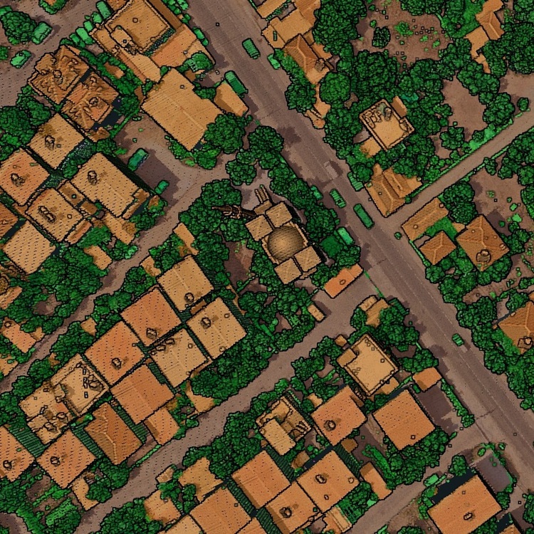
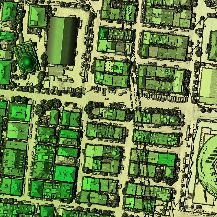
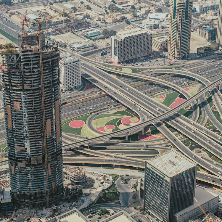
Urban planning
Through high-precision mapping of open pits, tunnels, and slope structures, we create safe and sustainable production processes.
- 3D mapping of existing building stock
- Road and transportation infrastructure analyses
- Open space and green area planning
- Identification of disaster-prone areas
- 3D city models and simulations
- Determination of urban density and redevelopment areas
- Data support for zoning plan updates
- GIS-based urban data production

Municipalities
We transform the planning, infrastructure, and environmental management processes of municipalities with advanced Lidar technology. Through aerial Lidar scanning, we map large areas with high precision in a short time, making decision-making processes faster and more reliable.
- Urban planning and zoning management
- Infrastructure and road analyses
- Green space and tree inventory
- Disaster and risk management