A map is not just an image, it’s
strategic data
At Delta Lidar, we provide photogrammetric mapping services not merely to produce visuals, but to support decision-making, engineering infrastructure, and project optimization. Turning your data into meaningful insight is our job.
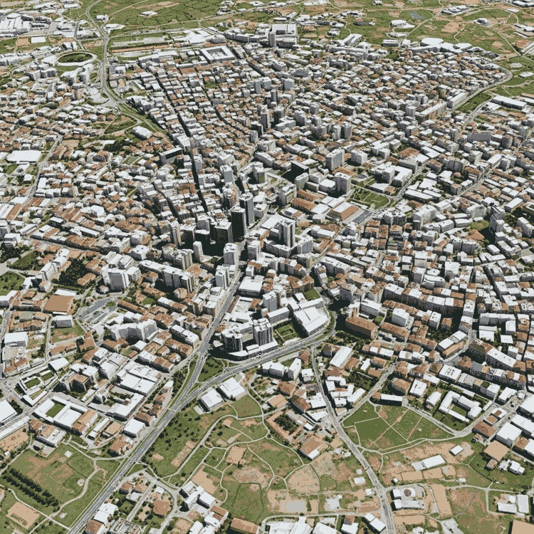
3D city model
Delta Lidar provides high-precision spatial data solutions for smart city, infrastructure, and urban transformation projects with 3D city models..
- Detailed 3D city models from high-resolution oblique imagery
- Spatial data infrastructure and GIS integration for smart cities
- Shadow, visibility, and sunlight analyses
- True-scale modeling of buildings, roads, and infrastructure
- Accurate assessment of existing conditions for urban renewal
- Sustainable planning integrated with geographic databases
- Long-term monitoring and change analysis of urban dynamics
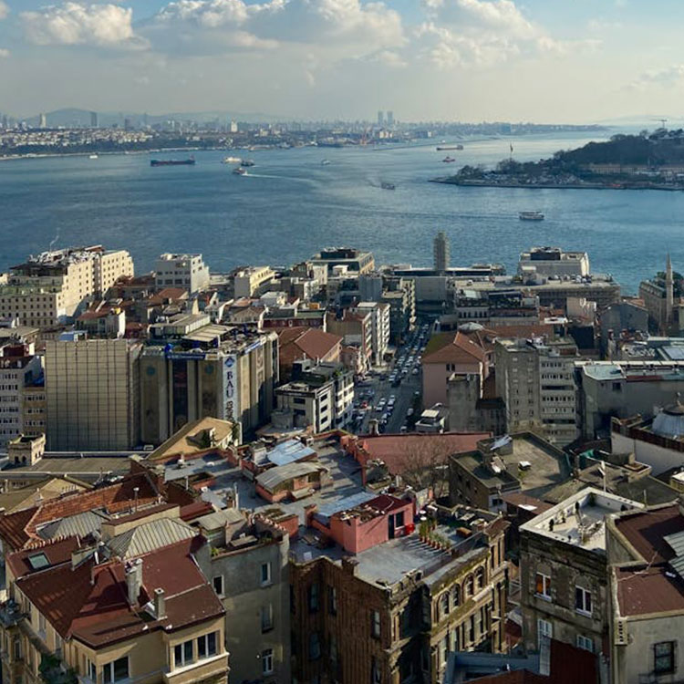
Urban transformation and zoning planning
Delta Lidar empowers city planners’ decision-making processes with high-precision aerial Lidar data to support the sustainable and smart development of cities.
- 3D mapping of existing building stock
- Road and transportation infrastructure analyses
- Open space and green area planning
- Identification of disaster-prone areas
- 3D city models and simulations
- Determination of urban density and redevelopment areas
- Data support for zoning plan updates
- GIS-based urban data production
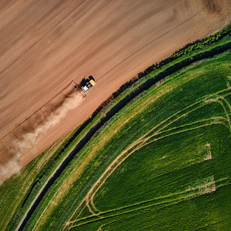
Agricultural land management and analysis
Delta Lidar provides aerial Lidar and drone-supported land analysis services for precision farming and resource optimization in agricultural areas.
- Detailed slope and aspect analyses
- Vegetation density mapping
- Flow direction modeling for irrigation planning
- Soil tillage and planting pattern optimization
- Pre-harvest yield estimation studies
- GPS-based guidance data for agricultural machinery
- Erosion and flood risk analysis
- Long-term monitoring and change detection of agricultural land
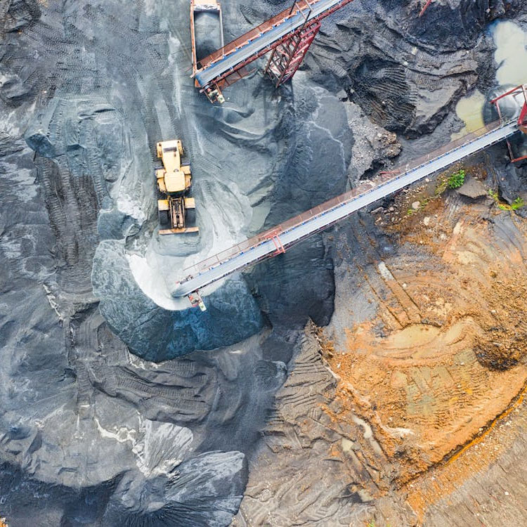
Quarries and mining sites
Delta Lidar provides high-resolution photogrammetric mapping solutions for quarries and mining sites, optimizing land management, volume calculations, and site safety processes.
- Production of up-to-date and detailed orthophoto maps
- Volume calculations for stockpiles
- Cut-and-fill analyses for production monitoring
- Slope and water drainage analyses
- Contactless and safe data collection in hazardous areas
- Comparative monitoring of site changes over time
- Fully compatible datasets for GIS and engineering software
- Precise measurements for license area and boundary control
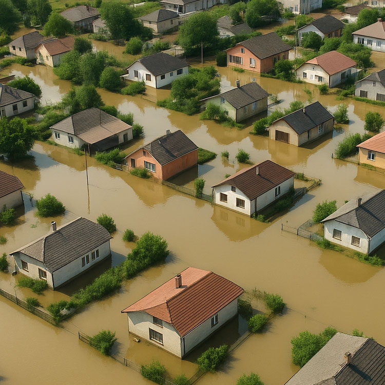
Post disaster damage assessment
Delta Lidar provides aerial Lidar and drone-supported mapping solutions for rapid and reliable damage assessment after earthquakes, floods, landslides, and similar disasters.
- Fast data collection over large areas
- Comparative analysis before and after disasters
- 3D modeling of structural and infrastructure damage
- Detection of landslides and ground deformation
- Mapping of high-risk areas
- Visual support tailored to affected areas for rescue and planning teams
- Integration with GIS-based disaster management systems
- Reliable data infrastructure for reporting and decision-making processes
Advantages of Photogrammetric Mapping
With RGB cameras, clear and colorful images are captured, allowing surface details to be modeled without omission. Maps produced using photogrammetric methods provide measurable data with an accuracy level suitable for direct use in engineering projects. With a single flight, multiple layers such as orthophotos, 3D models, point clouds, and contour lines can be generated simultaneously.
High Visual Quality
Measurable Maps
Multi-Layer Data Production

High Precision
Let’s Plan Your Project Together
Let’s design the most suitable Photogrammetric Mapping solution for your project together!
At Delta Lidar, we evaluate the entire process with you—from your terrain characteristics to your data density requirements, from technological infrastructure to delivery timelines—and create a customized application model tailored to your needs.