See beneath the water, bring risks to the surface
With bathymetric mapping, Delta Lidar reveals unseen underwater structures. Plan your projects safely even below water level and measure nature with precision.
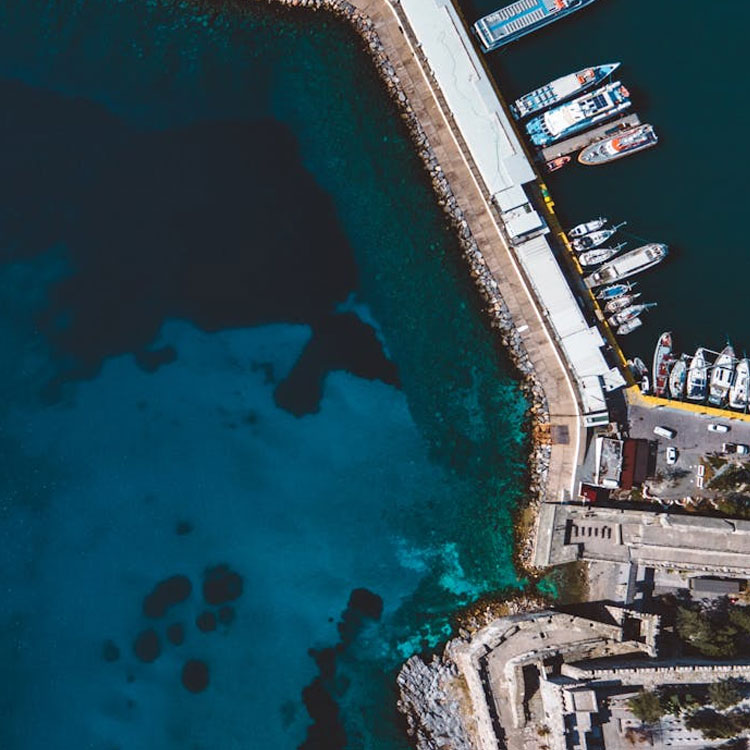
Port, dock, and pier depth control
We provide bathymetric mapping services for critical coastal structures such as ports, docks, and piers to ensure safe maritime traffic and sustainable infrastructure management.
- Detailed depth measurements around ports and docks
- Detection of sediment accumulation and shallow areas
- Seabed profile analysis around breakwaters and coastal structures
- GIS-based bathymetric map production
- Monitoring of changes through periodic measurements
- Decision support for logistics and engineering processesği
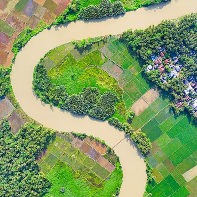
Morphological analysis of riverbeds
We provide high-precision bathymetric mapping solutions to analyze shape changes, depth variations, and erosion processes occurring over time in rivers and streambeds.
- Creation of riverbed depth and slope maps
- Detection of erosion and sediment accumulation
- Monitoring bed changes over time
- Data support for flood management and prevention measures
- Planning for channel excavation, widening, and redirection
- GIS-based analysis and visualization
Advantages of bathymetric mapping
With RTK-supported sonar systems, we collect underwater surface data with an accuracy of up to 5–10 cm. Using unmanned surface vehicles (USVs) and lightweight boats, we safely gather data even in hard-to-reach, narrow, or shallow areas. We provide a variety of outputs such as depth maps, cross-sections, volume calculations, and sediment analyses.
High-Accuracy Depth Measurement

Efficient Surveying in Hard-to-Reach Areas
Multi-Layer Underwater Data

High Precision
Let’s Plan Your Project Together
Let’s design the most suitable Bathymetric Mapping solution for your project together!
At Delta Lidar, we evaluate the entire process with you—from your terrain characteristics to your data density requirements, from technological infrastructure to delivery timelines—and create a customized application model tailored to your needs.