We accelerate your decision making processes by
turning data into maps
Explore our professional GIS solutions to guide your business with geographic data. Meet the Delta Lidar team and let us develop customized mapping solutions for your project.

AI-powered smart cities
We provide GIS- and AI-based smart city solutions for more livable, sustainable, and data-driven urban management.
- Classification of urban areas, green spaces, transportation, and infrastructure
- Zoning compliance and urban development analyses
- Inventory and optimization of urban amenities (roads, sidewalks, parking)
- Disaster risk assessment and urban resilience evaluations
- Traffic and pedestrian mobility analyses
- Smart city infrastructure and data management integrated with ESRI technologies
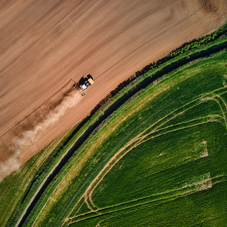
Agriculture and land use analysis
We provide GIS-based land use analyses for the efficient and sustainable management of agricultural areas.
- Spatial identification of agricultural and pasture areas
- Classification of cultivated, fallow, wooded, and vacant lands
- Productivity and soil fertility analysis
- Land use change monitoring
- Correlation with water, slope, and aspect
- Agricultural planning maps and reports
- Decision support for public and private sectors
- GIS-based sustainability solutions
Water resources and environmental monitoring
We provide GIS-based monitoring and analysis solutions for the effective management of water resources and the protection of the natural environment.
- Spatial identification and classification of water resources
- Monitoring of dams, ponds, and river areas
- Erosion, flood, and inundation risk analysis
- Pollution dispersion and environmental impact tracking
- Conservation and monitoring of wetlands
- Change detection analyses with time series
- Data-driven support for Environmental Impact Assessment (EIA) processes
- GIS-supported decision-making infrastructure
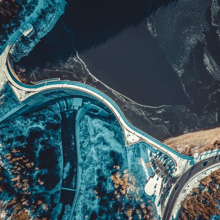
Transportation and logistics planning
We provide high-accuracy spatial data support to decision-makers through GIS-based analyses for the planning of road, rail, port, and logistics infrastructures.
- Analysis of road and route alternatives
- Accessibility and catchment area maps for transportation
- Optimal site selection for logistics centers
- Detection of traffic density, capacity, and bottlenecks
- GIS-based mapping and scenario analysis
- Contribution to urban and regional transportation strategies

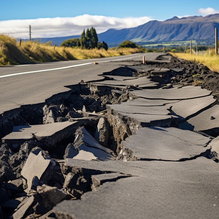
Disaster management and risk analysis
We provide GIS-based analysis and mapping services for identifying risks before natural disasters and for rapidly assessing impacts afterward.
- Preparation of disaster risk maps
- Analysis of interactions between population, building stock, and infrastructure
- Identification of flood, landslide, and earthquake hazard zones
- Data infrastructure for early warning systems
- Spatial planning of response and evacuation scenarios
- Post-disaster damage assessment and change detection
- Sustainable disaster management infrastructure for public institutions
Advantages
We offer customized data model design, layer structuring, and map interface design services tailored to your projects. We produce thematic maps suitable for zoning plans, infrastructure projects, rural development, and environmental impact assessments.
High Visual Quality
Measurable Maps
Multi-Layer Data Production

Artificial Intelligence
Let’s Plan Your Project Together
Let’s design the most suitable GIS solution for your project together!
At Delta Lidar, we assess your specific project requirements comprehensively — from technological infrastructure to delivery schedule — to design the most suitable implementation model tailored exclusively for you.