By integrating our LiDAR, thermal, and visual imaging technologies, we deliver detailed, high-accuracy maps and 3D data across large areas—from power plants to transmission lines.
Discover Lidar technology to enhance efficiency in energy projects.

Powerlines LiDAR Mapping
For the safety, efficiency, and continuity of your energy infrastructure, we provide end-to-end solutions with advanced LiDAR, thermal, and imaging technologies.
- Powerlines routes are mapped with high-precision 3D LiDAR data.
- Slope, elevation differences, and natural obstacles (trees, rocky areas, etc.) under the line are analyzed in detail.
- Line sag & tension and stress analysis.
- Vector maps and orthophotos are produced along the powerlines route.
- Powerlines inventory is integrated into GIS.
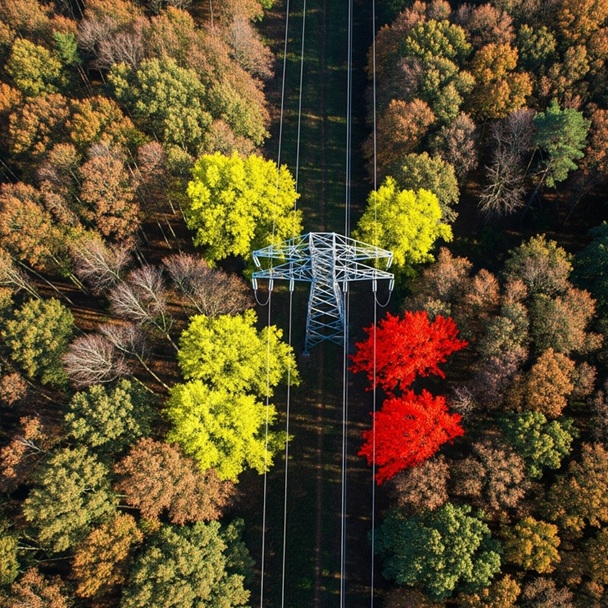
Tree to line clearance analysis (vegetation encroachment)
Protect your power lines and forests by detecting vegetation encroachments early.
- Tree-to-line clearance analysis and pruning planning
- Trees, vegetation, and structures encroaching on transmission lines are identified through remote sensing.
- Risk points are mapped, and areas requiring pruning or intervention are prioritized.

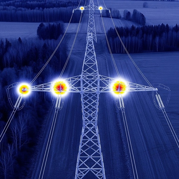
Thermal Imaging for Powerlines
For the safety, efficiency, and continuity of your energy infrastructure, we provide end-to-end solutions with advanced LiDAR, thermal, and imaging technologies.
- Detection of hotspots and heat leakage
- Overheating (hotspots) at connection points along the line are reported as energy loss points
- Insulator and equipment health inspection (RGB + thermal camera)
- Current condition of poles, crossarms, and connection equipment is documented to create a digital inventory
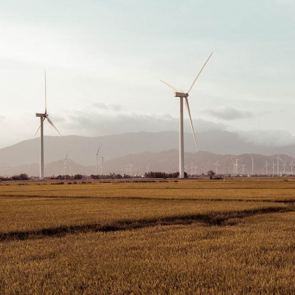
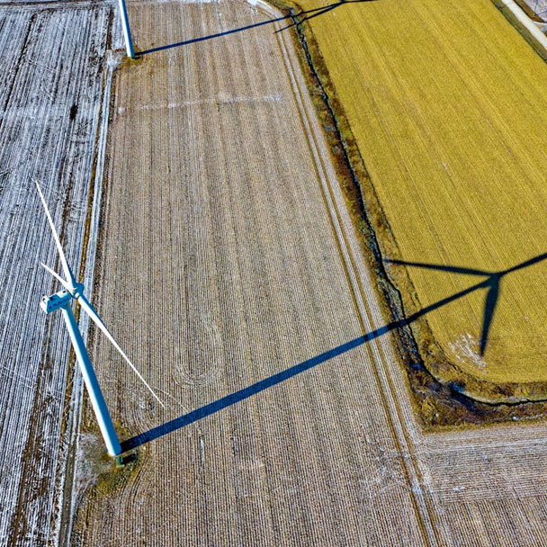
LiDAR Mapping for Wind and Solar Power Plant Sites
At Delta Lidar, we accelerate project planning and engineering processes by delivering high-accuracy terrain models and authority-approved maps for wind and solar energy projects. With our LiDAR technology, we provide reliable data and sub-vegetation terrain extraction even in densely vegetated, rugged, and forested areas, allowing you to understand your site in the finest detail.
- Authority-approved base map production
- High-accuracy and precision terrain models (DEM / DTM / DSM)
- Slope and aspect analysis
- Vegetation and shading analysis for solar power plant sites
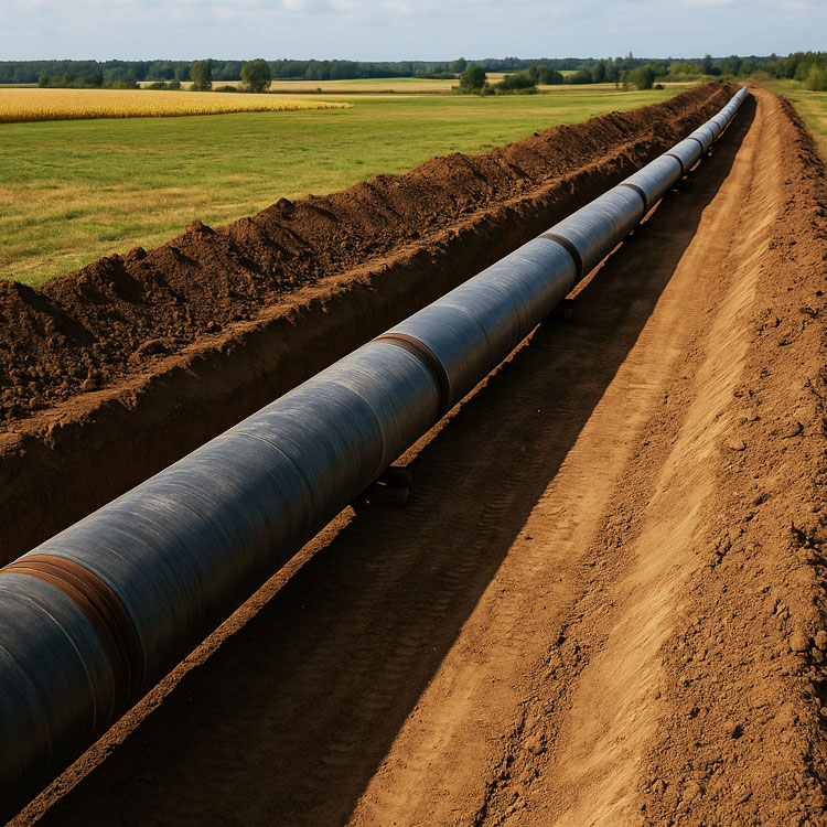
LiDAR Mapping for Natural Gas and Oil Pipelines
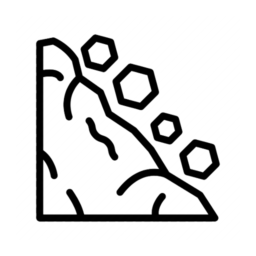
We provide mapping solutions with LiDAR and imaging technologies to ensure the safe and sustainable operation of your natural gas and oil pipelines. In these services, which are specifically designed for oil and natural gas lines, the terrain is modeled in detail, and obstacles and risk-prone areas along the route are identified. Natural hazards such as landslides, erosion, and ground deformation are detected; changes over time are monitored, and early intervention maps are prepared to address potential issues.
- Classified LiDAR point cloud
- High-accuracy and precision terrain models (DEM / DTM / DSM)
- Base map and orthophoto production
- GIS inventory and digitization of pipeline components
- Potential natural hazard risks (landslides, erosion, ground deformation, etc.) are identified and scientifically evaluated by expert academics, then reported
- Change detection analysis provided through comparison with historical data
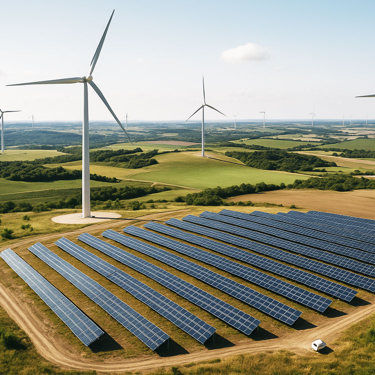
Digital Modeling of Energy Facilities
From solar farms to wind turbines, perform detailed surface, slope, and shading analyses for all your energy investments.
Solar (SPP) and Wind (WPP) Site Planning
Shadow and Slope Modeling

3D Mapping of Plant Areas
On-Site Suitability and Risk Mapping
Time and cost in the energy sector can be controlled through data-driven planning. Delta Lidar provides reliable data at every stage of your projects.
Manage energy more effectively with high accuracy measurements.
We analyze terrain structure and environmental boundaries in an integrated way.
In energy projects, terrain slope, natural obstacles, and accessibility analyses play a critical role. We provide all this data quickly and accurately.
Boost efficiency in production and enhance safety in distribution with data-driven energy investments.