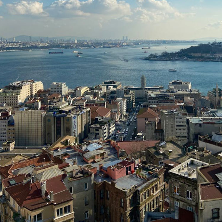
Modeling complex urban fabrics is now easier than ever. Delta Lidar enables you to analyze everything from city centers to rural settlements with detailed 3D models.
Discover high-resolution Lidar + photogrammetry solutions for smart city planning.
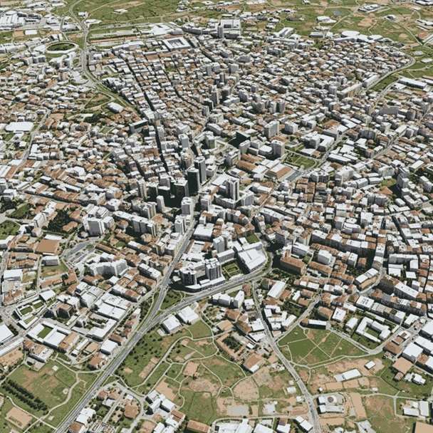
3D City Models
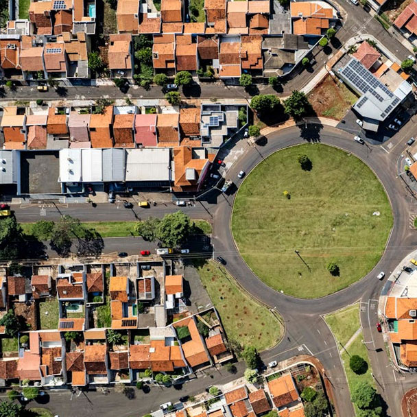
Model your city in three dimensions (3D) with LiDAR and photogrammetry technologies. By producing high-accuracy 3D data for smart city projects and digital twin infrastructure, we help optimize all processes from urban planning to infrastructure management.
- 3D City Models
- Digital Twin Infrastructure Development
Urban Transformation and City Risk Mapping
We provide three-dimensional (3D) analysis of existing building stock and land-use patterns for urban transformation projects.
Disaster Risk Zone Visualization
Building Inventory Creation

Identification of Vacant and Risky Structures
Infrastructure and Superstructure Analyses
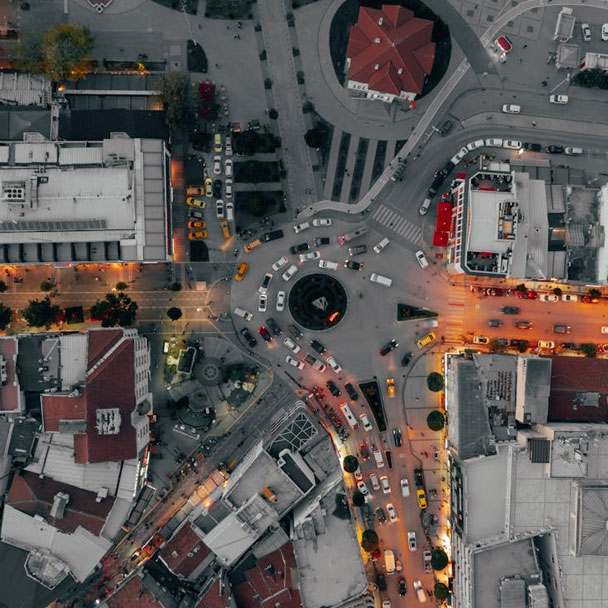
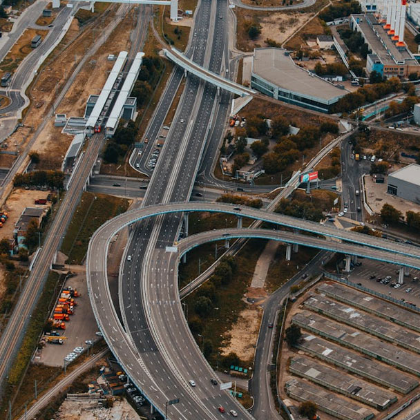
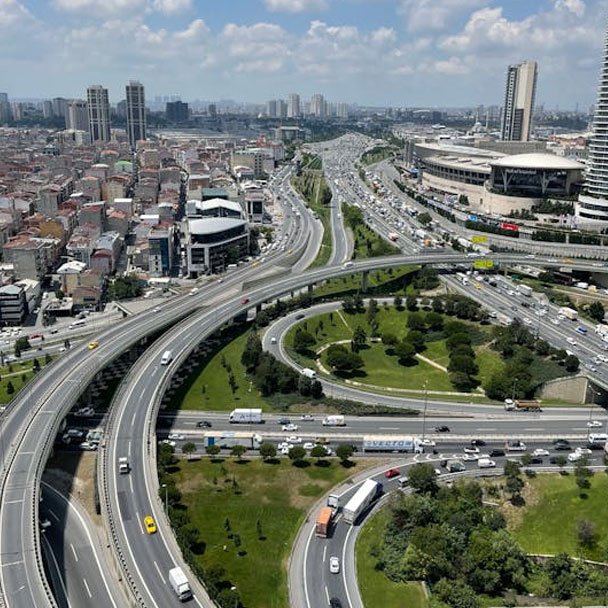
Infrastructure management & urban transportation analysis
Create digital twins of existing infrastructure. Optimize urban transportation, pedestrian pathways, and traffic nodes to improve quality of life.
- 3D City Models
- Digital Infrastructure Mapping
- Road Network and Intersection Analysis
- Sidewalk and Pedestrian Area Planning
Shape the Future of Your Cities with Delta Lidar’s Integrated Solutions Make scientific, accurate, and sustainable decisions to guide urban transformation.
Accuracy in Urban Data Leads to Success in Transformation
We rapidly and seamlessly map buildings, roads, and natural structures.
With high-resolution LiDAR data, urban areas, historical sites, green spaces, and infrastructure elements can be modeled in detail.
Redesign urban life with data driven city planning!
Digital Urban Inventories
Urban Transformation Planning