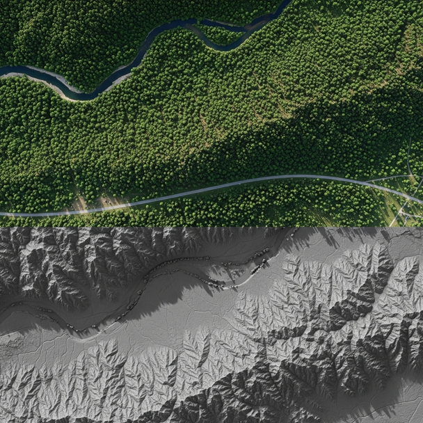
Go Beyond Manual Measurements and Traditional Mapping Methods. With UAV-supported LiDAR technology, Delta Lidar precisely models under-canopy topography even in challenging, densely vegetated terrains, enabling 3D analysis of your mining sites.
For effective planning in mining areas, discover
next generation Lidar solutions.

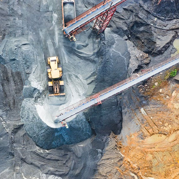
Volume Calculations and Reserve Management
Simplify stock management with accurate volume measurements. Plan cut-and-fill analyses in real time using LiDAR data.
- Cut-and-Fill Volume Calculations
- Under-Canopy Topography Extraction with LiDAR
- 3D Measurement of Stockpiles
- Identification of Reserve Areas
- Map Production in Compliance with MAPEG Standards
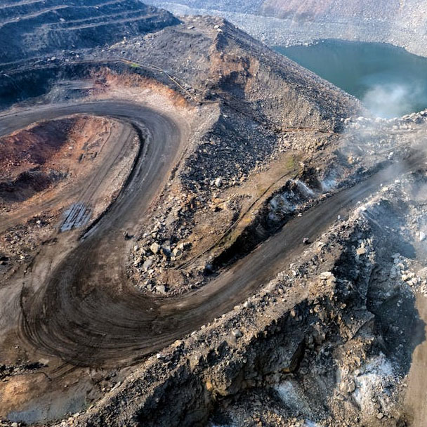
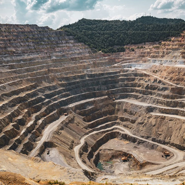
Digital Modeling of Mining Sites
We support safe and sustainable production processes through high-precision mapping of open-pit mines, tunnels, and slope structures.

Slope Stability Analysis
Tunnel Geometry Monitoring
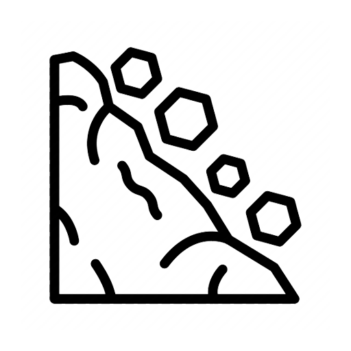
Erosion and Landslide Risk Mapping
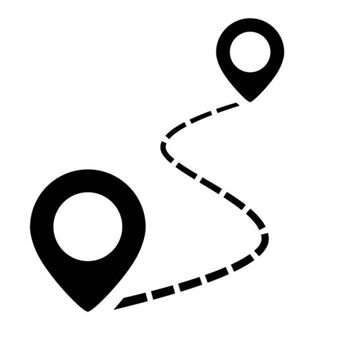
Planning of Roads and Transportation Networks
With our indoor LiDAR systems, even underground galleries can be scanned in 3D, allowing you to analyze your production areas comprehensively.
Flawless data production, even in challenging mining environments!
We quickly and thoroughly analyze geological structure, slope, and risk factors.
With LiDAR data, geological movements, stability issues, and topographic changes in the field can be clearly monitored.
Enhance workplace
safety and productivity with data driven site planning!