Bu web sitesi, en iyi deneyimi sağlamak için çerezleri kullanır. Daha fazla bilgi için lütfen Gizlilik Politikamızı okuyun.
Our References
Those Who Choose Us
Some of the projects we have completed in different scales and sectors
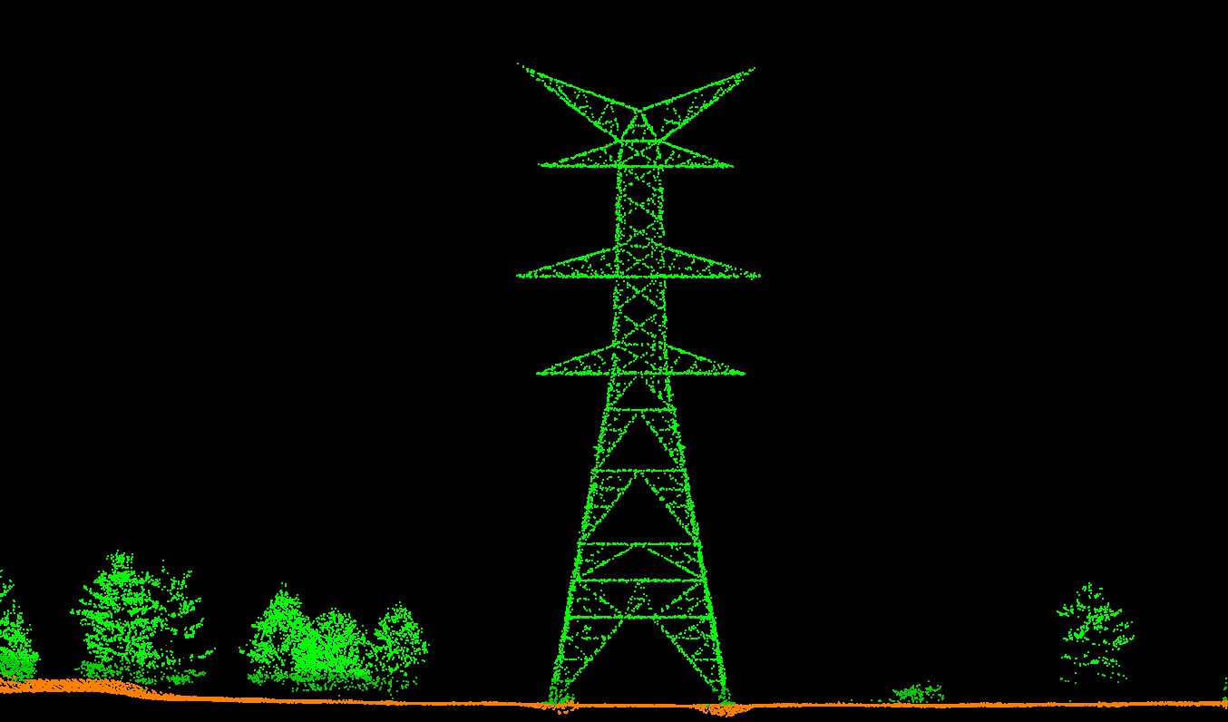
Airborne LiDAR Mapping for Power Lines
Client: Eltemtek
Scope:
Airborne LiDAR survey of power lines, point cloud classification, transmission line digitization, topographic map and DEM, DSM and orthophoto production
Location: Antalya, Muğla, İzmir, İstanbul, Kocaeli, Sakarya, Düzce, Bolu (1800 km X 400m Corridor)
Year: 2024
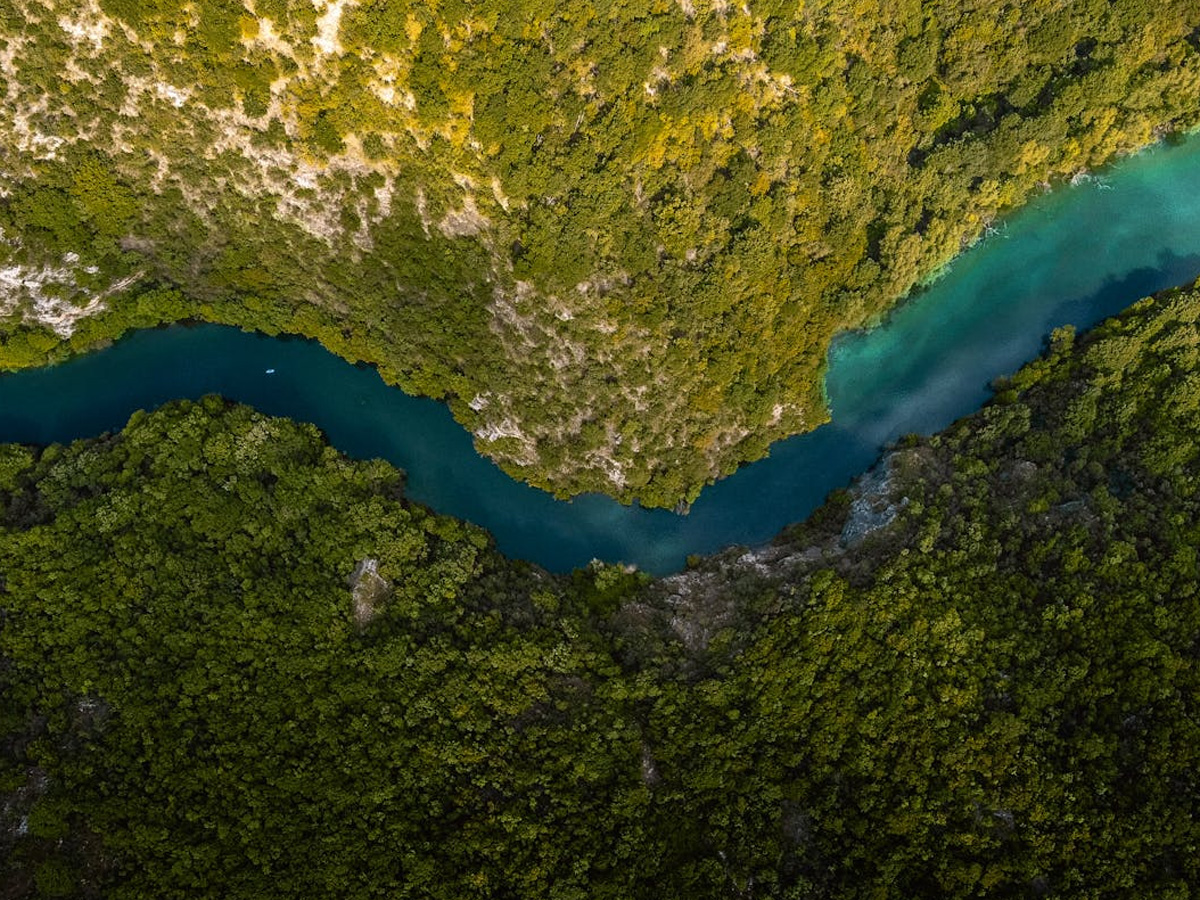
Mining Site Airborne LiDAR Mapping
Client: Çayeli Bakır
Scope:
UAV LiDAR survey for sub-canopy topography extraction in a densely vegetated mining area, including DEM, DSM, base map, and orthophoto production.
Location: Rize - Çayeli
Year: 2024
Airborne LiDAR Survey for Railway
Client: TCDD
Scope:
UAV LiDAR mapping of the railway within TCDD 3rd Regional Directorate; point cloud, vector map, DEM, DSM and orthophoto production.
Location: İzmir, Manisa, Balıkesir, Denizli, Aydın (1200 km X 200m Koridor)
Year: 2024
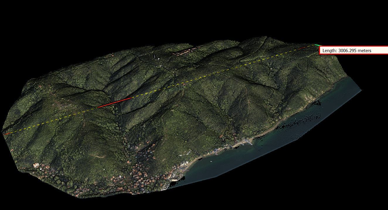
Wind Farm Airborne LiDAR Mapping
Client: Eksim Holding
Scope:
Production of 1/1000 and 1/5000 scale vectors maps, DEM, DSM orthophoto approved by authorities using Drone (UAV) LiDAR and photogrammetric methods across 8 different wind power project sites.
Location: Edirne, Kırklareli, İstanbul, Balıkesir
Year: 2024
Factory Scanning with Terrestrial LiDAR
Client: Konya Çimento.
Scope: Detailed scanning of the equipment at the cement plant using terrestrial LiDAR method
Yersel Lidar yöntemi ile çimento fabrikasında bulunan ekipmanların detaylı bir şekilde taranması
Location: Konya
Year 2023
Tree Inventory with Terrestrial LiDAR
Client: Ege Yapı A.Ş.
Scope:
Extraction of tree trunk diameter, crown diameter, height, and topography using terrestrial LiDAR.
Location: İzmir
Year: 2021
Airborne LiDAR Mapping for Power Lines
Client: Eltemtek
Scope:
Airborne LiDAR survey of power lines, point cloud classification, transmission line digitization, topographic map and DEM, DSM and orthophoto production
Location: Bartın - Samsun (320 km X 400m Corridor)
Year: 2018
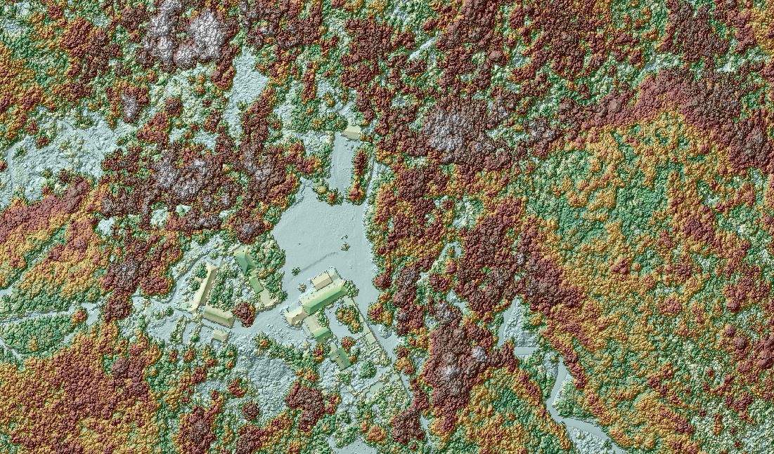
Sub-Canopy Archaeological Sites Research Project
Client: Koç University
Scope:
Detection of Archaeological Structures Beneath Forest Canopy Using Airborne LiDAR
Location: İstanbul
Yıl: 2018
Forest Management Research Project
Client: Istanbul University
Scope:
Production of classified point cloud, Digital Elevation Model (DEM), Digital Surface Model (DSM), Normalized Digital Surface Model (nDSM), and canopy map using Airborne LiDAR method.
Location: İstanbul
Year: 2018
Photogrammetric 1/1000 scale vector map
Client: ABG Harita
Scope:
Photogrammetric 1/1000 scale vector map, 3D point cloud and orthophoto production with drone in the thermal energy project area
Location: Çanakkale
Year: 202017
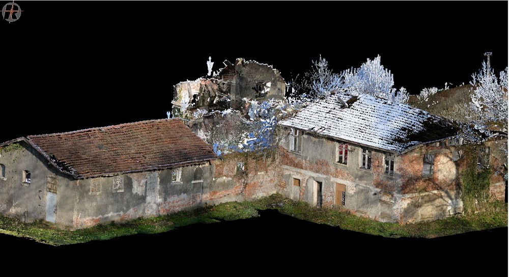
TERRESTRIAL LIDAR SURVEY-RESTORATION PROJECT
Client: Rotunda Architecture
Scope:
Creating sections, elevations and floor plans from laser scanning point clouds within the scope of survey-restoration projects..