Drone mapping: the new way to save time and costs
Delta Lidar combines aerial data collection processes with next-generation technologies to bring a new dimension to mapping services. Meet our expert team, delivering project-specific planning and result-oriented solutions tailored to your needs.

Vector map, Orthophotos and 3D Model
Delta Lidar provides fast, cost-effective, and high-resolution data generation using unmanned aerial vehicles (drones) for mapping large and hard-to-reach areas.
- Base map production (1/1000 – 1/5000)
- High-resolution orthophoto and 3D model generation
- Digital Surface and Terrain Models (DSM/DTM)
- Precision mapping integrated with Lidar
- Rapid and economical data generation over large areas
- Easy mapping of challenging or inaccessible regions
- Monitoring field changes over time
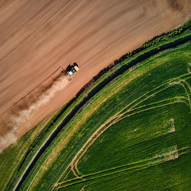
Agricultural land analysis applications
Delta Lidar provides aerial Lidar and drone-supported land analysis services for precision farming and resource optimization in agricultural areas.
- Crop and plant health maps
- Vegetation density mapping
- Detailed slope and aspect analyses
- Flow direction modeling for irrigation planning
- Soil tillage and planting pattern optimization
- Pre-harvest yield estimation studies
- Erosion and flood risk analysis
- Long-term monitoring and change detection of agricultural land
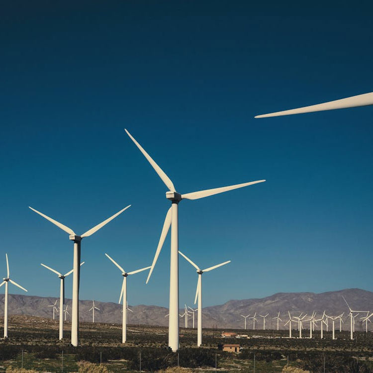
Energy infrastructure projects
Delta Lidar provides precise and comprehensive geospatial data solutions for power transmission lines, substations, renewable energy sites, and other infrastructure projects.
- Approved base maps for wind (WPP) and solar (SPP) energy projects
- Transmission line route analysis and obstacle clearance risk detection
- Topographic modeling for solar and wind power plant sites
- Measurement of substations, power stations, and infrastructure sites
- Accurate determination of distances to trees, buildings, and other obstacles
- GIS-based energy inventory production
- Long-term maintenance and risk monitoring
- Data support for planning, expropriation, and permitting processes
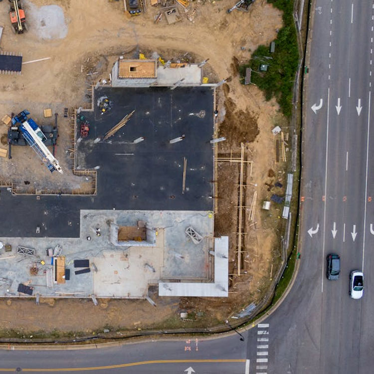
Pre construction topographic analyses
Delta Lidar provides project-specific detailed topographic data before the start of construction projects, accelerating project planning and reducing the risk of errors.
- High-resolution topographic map production
- Slope and elevation difference analyses
- Data support for site layout and cut-and-fill planning
- Soil suitability and drainage analyses
- Rapid site modeling for time and cost savings
- Data formats compatible with BIM and CAD projects
- GIS-supported digital archiving and easy data sharing
Advantages of drone mapping
Compared to traditional surveying methods, we can scan thousands of hectares much faster and more cost-effectively. With our GNSS-supported drone systems, we deliver centimeter-level accuracy, providing reliable baselines for your engineering projects. Drone mapping offers practical results for topographic map production, volume calculations, agricultural analysis, urban planning, and infrastructure projects.
Fast and Cost-Effective Data Collection
High-Accuracy Maps
Versatile Applications

High Precision
Let’s Plan Your Project Together
Let’s design the most suitable Lidar solution for your project together!
At Delta Lidar, we evaluate the entire process with you—from your terrain characteristics to your data density requirements, from technological infrastructure to delivery timelines—and create a customized application model tailored to your needs.