With LiDAR technology, we enhance the accuracy of your infrastructure projects, enabling you to carry out field operations with minimal errors and maximum efficiency.
Success in transportation,
begins with reliable data!
Route Planning and Risk Analysis
Achieve maximum efficiency in transportation projects with accurate slope and terrain analysis. Reduce costs and minimize environmental impacts through data-driven engineering decisions.
- Route Analysis
- Identification of Risk Areas
- Geotechnical Compatibility Assessment
Lidar Based Mapping of Transportation Infrastructure
With aerial and terrestrial LiDAR systems, we capture 3D surface models of highways, railways, and structural infrastructures with millimetric accuracy.

Road Slope and Elevation Analysis
Viaduct and Tunnel Modeling
Mapping of Traffic Nodes
Pre-Construction Planning
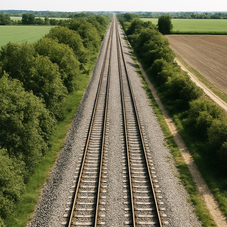
3D Railway Inventory
Using LiDAR and oblique photogrammetry technologies, we precisely scan railway lines to produce a complete 3D inventory of infrastructure and superstructure components. We deliver base data for existing maps, point clouds, orthophotos, and 3D models that support digital twin applications, all fully integrated with GIS.
- Route Analysis High-precision
- 3D railway inventory
- Existing map production
- Dense point cloud and orthophoto generation
- 3D model production supporting digital twin applications
- GIS integration and data management
- Identification of landslide hazard zones
Traditional surveying methods are giving way to high-precision LiDAR systems. Delta Lidar provides a data-driven foundation for project management by creating 3D models of transportation infrastructure.
Discover our advanced Lidar technology for unparalleled accuracy and efficiency in transportation projects.
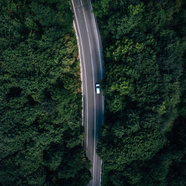
We map road alignments, slopes, and environmental factors quickly and reliably.
With our LiDAR technology, we provide detailed analysis of road corridors, ground characteristics, and surrounding features, streamlining your field operations.
Plan transportation with data-driven insights and deliver safe, sustainable projects!
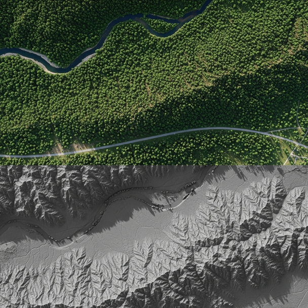
Under-Canopy Topography with LiDAR
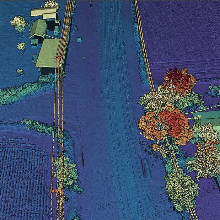
Point Cloud and 3D Modeling
